
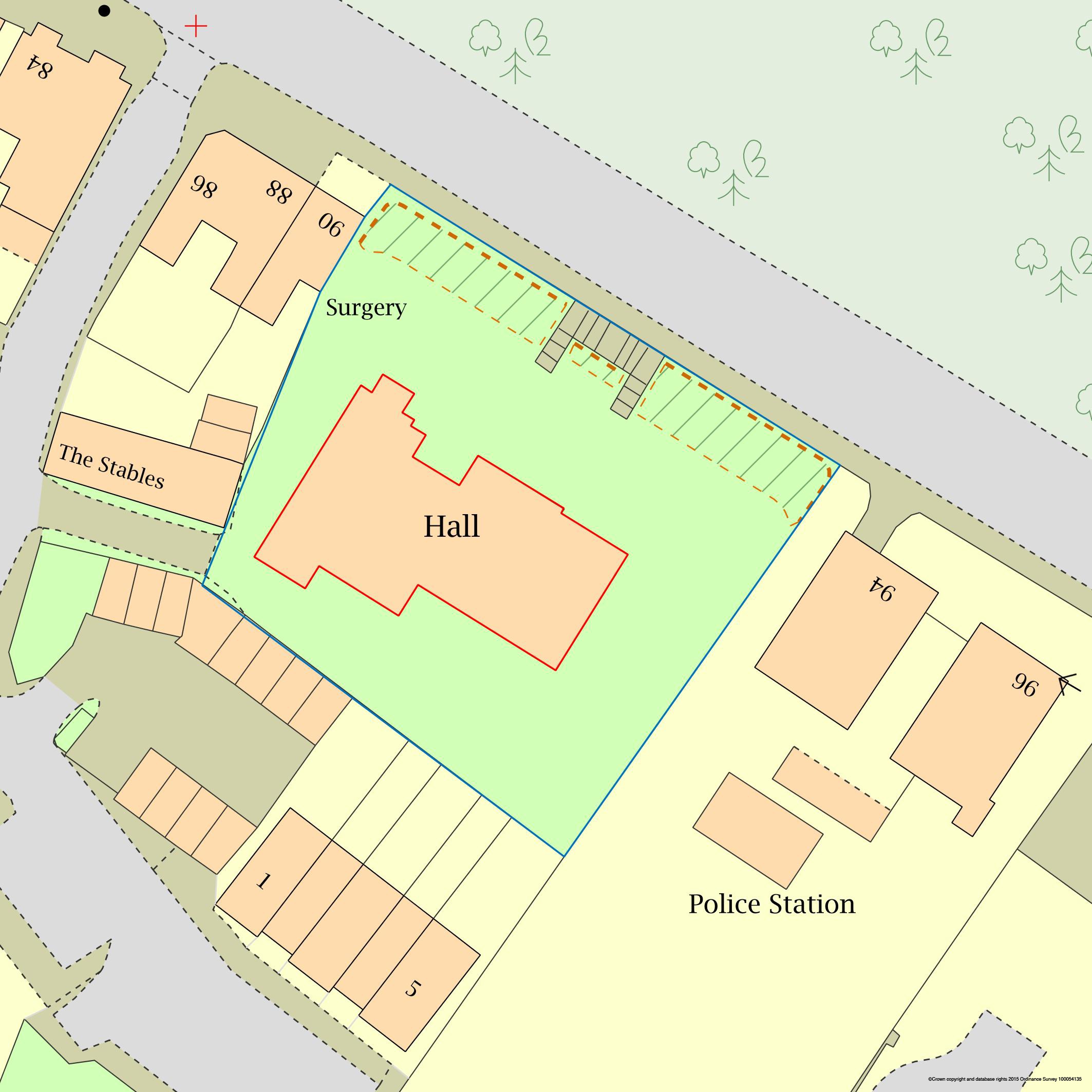
Download example shapefiles. The example archive contains two shapefiles representing the outlines in the image above.
Find your plan now
advanced search
Order by Phone on: 01856 898 022
Shapefiles for GIS
Shapefiles are files that are used to share mapping information in a way that can be read directly by mapping software and incorporated into other maps. Unlike an image that can be viewed or have information put on to it, shapefiles contain exact location information that can be used as a basis for bigger maps or imported into larger geographical information systems (GIS).
Every shape that is drawn by one of our customers on a map creates a shapefile. So if you have a red outline and a blue outline on your map we will create a two shapefiles for you.
Most users probably will not use the shapefiles, in which case they can be ignored, but some planning authorities will accept shape files as part of the planning application and in some cases give a discount on application fees if shapefiles are supplied. You should contact your local planning authority to find out more.
If you are submitting plans to the land registry you may also be able to access discounted fees if you supply shape files with your submission. You should contact the land registry for clarification on this.
What File Format are Shapefiles?
Shapefiles are supplied in a digital vector format. There is one standard for this and it is accepted by all bodies using Shapefiles, such as Local Councils, Land Registry. There are no compatibility issues with this format.
Our files are supplied to you as a zip file and this contains a number of files that make up your shapefile, which includes:
.shp - Shapefile Shape Format; this is the geometry of the feature itself
.shx - Shapefile Index Format; this is the positional index of the feature geometry
.dbf - Shapefile Attribute Format; column attributes for each shape
.prj - Shapefile Projection Format; coordinate system and projection for the shape
.fix - Spacial Index of Features; read-only
How do I mark out my shape for the Shapefile?
To mark out the area you require as a shapefile add a Red or Blue outline on the plan you create on our website. We will then generate a shapefile for each outline you create.
How do I obtain my Shapefile?
After you purchase your plan from us we will create your shapefiles and send you a link to download these securely from our website.
How can I use the Shapefile?
You can submit your shapefile along with your planning application to many councils, this may give you a discount on your planning application fees.
You can submit your shapefile to the Land Registry, this may give you a discount on the fees payable.
How much extra does the Shapefile cost?
The shapefile is free with your purchase at ukplanningmaps, however you must mark out the area at the time of purchase in order to receive the shapefile.