
CAD Maps from £13.60
- Height Data
- Create your map in 3 minutes
- Download it instantly
- Telephone Helpline
- Extra Discounts for Trade Customers
Find your DXF/DWG now
advanced search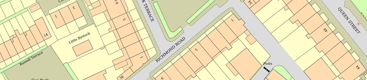
Ordnance Survey DWG and DXF files
UK Planning Maps offers instant online access to Ordnance Survey Mastermap. You can preview the mastermap before purchase and download it instantly
Each of Our DWG and DXF OS maps includes:
- Ordnance Survey height contour lines
- Free preview of the actual data set used (fair use policy applies)
- Instant Download
- Georefferenced file
- Free online file storage for 3 months
- 1 year's license
DWG Ordnance Survey Files
DXF Ordnance Survey Files
Any Shape Any Size
as well as our standard sizes, you can order any shape, any size DWG and DXF files online. To order this, simply click "Custom Vector" when previewing your map to draw the shape you need.
Ordnance Survey Digital Terrain Model
Digital Terrain Model (DTM) gives mean heights for every 5m square. This is available with every OS DWG and DXF ordered from us for a flat fee of £15 (£12.50 for Trade Account Holders).
Ordnance Survey contour lines
The OS Contour line height data shows contours at 5m intervals, this covers all Ordnance Survey mapped area. Contour lines are available for a flat fee of £15 (£12.50 for Trade Account Holders).
Site and Location Plans
We also offer a full range of pdf site plans and location plan, you can choose to order these in Black and White or Colour. All are ready for instant download.
OS CAD Maps at a Glance
Our DWG and DXF OS Maps use the best quality Mastermap® data set, at the best prices online. We offer a free preview of your Mastermap® each before purchase.
| File Format | DWG and DXF for CAD programs |
|---|---|
| Data Set | Ordnance Survey Mastermap |
| Scale | Vector File - is completely scaleable |
| Additional Features | North Arrow, Scale Bar |
| Georeference | Ordnance Survey Eastings And Northings |
| Licence Information | Ordnance Survey Licence Number, Unique Plan Reference |
| Delivery | File sent instantly by Email |
| Area Covered | from 100m x 100m |
| Contour Height Data | Ordnance Survey Contour lines at 5m intervals |
| Additional Height Data | Digital Terrain Model available from £15 |
| Price | from £13.60 |
Excellent service I wish that I had found the site before.
Quick, easy and provides what you need for planning applications.
quick service i will use this company again .
Easy way to get a concise plan
Easy to use and cost effective. Would use again.
Clearly the best
Excellent service,what more can be said!
Excellent service from UK Planning Maps, will certainly use there company again, Paul
Very clear and straightforward presentation of the products. Instant delivery. Exactly as it `says on the tin'. Thanks.
Helpful and easy to use
very easy to use
Seriously, this is the place to go! So simple to find what you want and brilliantly efficient! I will not go anywhere else in the future! So happy I found you!
A hassle free and simple to use site, very good.
Simple to buy and useful option of .dwg file to use in Sketchup
Easy to set up account. Website easy to navigate. Competitive prices.
Quick results. Good website which is clear and easily navigated
very quick & helpful
Excellent,rapid results and great service for a quality product with easy interpretation at the right price, will definitely recommend, especially for planning applications, well done!.
Quick, easy and cheap. What more do you want?
There service was Very fast I got my map within minutes
Got what required at reasonable price.
Why choose UK Planning Maps?
Homeowners and Professionals alike rely on UK Planning Maps to provide the map they need at unbeatable value for money.

-
Our Maps are guaranteed Planning Application Compliant. All our plans are correctly licensed, scaled correctly, and carry the North arrow required for your planning application.
-
Every Map we produce uses high quality, up to date Mapping. We are an official Ordnance Survey Licensed partner and our maps use their professional grade Mastermap® data.
-
Its Quick and Easy to order our plans online. Most of our customers place their order within 3 minutes from start to finish, with instant download and delivery to your email inbox 24 hours a day.
-
Excellent Prices. We work hard to keep our prices as low as possible, while offering quality mapping and service.
-
Easy to select the Scale you need. Simply select from the following planning approved scales; 1:200, 1:500, 1:1250 and 1:2500
Professional Mapping
Save Money on your Mapping
UK Planning Maps is the cheapest provider of professional mapping. Most customers save at least 20% compared to their previous supplier.
UK Based Customer Support
All queries are handled by our UK based staff. Please call us on 01856 898 022 with any questions.
Easy to find your site
Search for your site by Postcode, Address, Eastings / Northings, Latitude / Longitude or Google Map.
Instant Download
Your plans are prepared instantly and automatically. Download your file immediately after you confirm your order.
No extra Fees
We do not charge an account fee, you only pay for the maps you need. We also do not charge a browsing fee and offer free preview of OS Mastermap Data.
Use any Computer
Our map selection system works with any computer and any browser.
OS Height Data
All DWG and DXF files come with optional OS height contour lines. We also offer Digital Terrain Model (spot heights every 5m) at low prices.
Add your logo to each plan
Our Word Documents are easily customisable to add your logo at the top of every plan you purchase.