
OS Licensing Guide for UK Planning Map Users
You have found the property, chosen the scale and drawn the boundary. Then you notice the copyright wording at the bottom of the map. What does it mean, and can you send the plan to your architect? This OS licensing guide explains the practical points to check when buying, sharing and printing maps for a planning application.
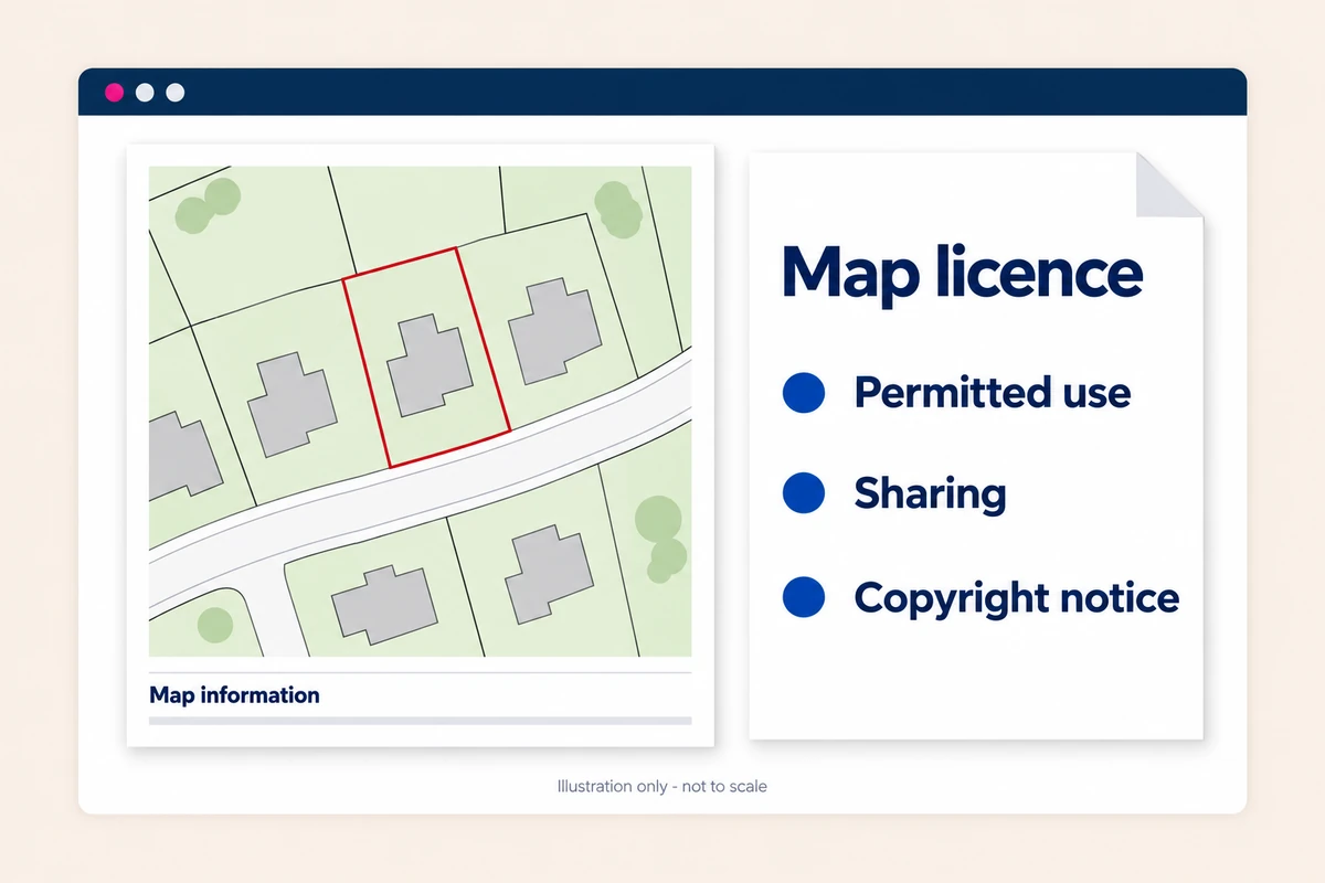
Start with a plan supplied for your intended purpose. Keep the order confirmation and terms, particularly if you later need extra copies, an editable file or permission to reuse the mapping.
What does OS licensing mean?
Ordnance Survey produces mapping of Great Britain. Its detailed data helps show buildings, roads and surrounding features on planning maps. The mapping is protected by intellectual property rights; buying a plan gives you permission to use it under the applicable terms, not ownership of the underlying OS data.
There is no single licence that covers every OS product and every use. A supplied plan, an editable dataset and a map published on a website can have different conditions. OS's licensing guidance separates using, copying, sharing and publishing for this reason.
Licensing and planning requirements are also different checks. Permission to use a map does not establish that you have drawn the correct application boundary. Equally, a tidy red outline and a north arrow do not prove that a copied map is licensed. You need suitable mapping and the right permission to use it.
OS licensing guide: the common planning uses
Choose the product around the job: submitting a finished plan, sharing it with an agent or providing editable mapping for design work.
OS MasterMap supplied as a PDF or raster image
OS MasterMap Topography Layer is a vector dataset: buildings, roads and other features have defined shapes and positions. A supplier can use that data to produce a finished map image. Buying the image is not the same as licensing the underlying dataset for editing or analysis.
In its partner licensing guidance, OS explains that the Printed Products contract covers paper maps and electronic raster versions that are not georeferenced. Despite the name, this category is not limited to something posted to you on paper. It is a supply arrangement for OS partners, not an annual copying licence that every customer must buy.
Raster means a pixel-based image. OS explains that georeferencing connects pixels with geographical coordinates, using information embedded in the image or supplied alongside it. PDF is a document format and can contain raster images, vector graphics or geospatial information; the filename alone does not establish the licensing category.
Our PDF plans are not georeferenced; our DWG and DXF maps are. The permissions still come from the licence supplied with your order.
For a MasterMap-based PDF or raster plan, ask what the supplied licence permits: electronic submission, printing, annotation, retention and onward sharing. The partner-contract description alone does not answer all those customer questions. Changing a file to JPG, tracing its outlines or placing it into GIS does not give you additional rights in the OS mapping.
Location plans and block plans
A location plan shows the site in its wider setting, commonly at 1:1250 or 1:2500. A site or block plan gives a closer view, often at 1:200 or 1:500. Your proposed development details may still need adding by your designer.
Our map FAQs confirm that purchased plans are suitable for electronic use, including email. That helps with the normal handover to your planning agent or designer. It does not mean the recipient acquires unrestricted rights to extract the mapping or use it for other jobs.
Revisions and repeat submissions
A revised boundary does not automatically mean the entire map must be bought again. Nor should you assume one purchase covers every future application. Check whether the proposed change falls within the product's terms and whether the mapping still shows the site correctly.
Contact us if a boundary needs correcting or extending beyond the purchased area. In a customer review, Mr WELLDEN described a missing red outline being sorted through online chat. Asking for help can resolve a practical problem without guessing how to alter the supplied file.
Keep the replacement clearly named, so the earlier version is not submitted by mistake.
CAD files and professional drawing work
Our DWG and DXF maps are georeferenced and can provide a base for professional drawing work. The CAD product page advertises a one-year licence. Check the terms supplied with your order for permitted users, sharing, renewal and what happens when that period ends.
This is separate from the three months of online file storage advertised on the same page. Download availability, licence duration and how current the mapping is are three different things.
If an engineer or contractor needs the CAD file, check the sharing conditions before passing it on. An editable map should not simply become a reusable office resource for unrelated projects.
Why screenshots and copied maps can cause problems
A map being visible online does not make it free to reuse. Our website terms expressly prohibit using preview maps outside the service. A screenshot of the preview is not a substitute for purchasing the plan.
The same caution applies to drawings on a council's planning portal. Being able to view an earlier application does not automatically give you permission to copy its mapping into yours. OS's public-sector publishing guidance distinguishes public viewing from wider reuse. Check the document's conditions rather than treating a download button as permission.
There is also a practical problem: copied images may lose detail, distort the scale or show old boundaries. Adding a copyright statement yourself does not fix those issues or create a licence.
Some OS mapping is genuinely available as OS OpenData, under the Open Government Licence. That does not make every OS MasterMap product open data. Check the actual dataset, its conditions and whether its detail is suitable for the required plan.
Choosing the right licensed map for your application
Check your council's drawing requirements first. Our sister website's planning-authority directory helps you find the relevant guidance. Follow through to the authority's current requirements for your application type; a licensing guide cannot replace its validation checklist.
Then decide what you need to order:
- A location plan showing the complete application site and enough surrounding context
- A more detailed site or block plan where required
- A PDF for submission, or an appropriate editable format for your designer
- Any printed copies you need, within the supplied permissions
UK Planning Maps supplies licensed Ordnance Survey MasterMap-based mapping in standard planning scales. Check the property and coverage, then add boundary markings before ordering. Do not rely on the postcode marker alone.
Ask your designer which format they want before paying. Converting a PDF into CAD does not create additional rights in the underlying mapping.
Your responsibilities after purchasing a plan
Keep the supplied copyright and database-rights acknowledgements visible. Do not crop them out to make a drawing look cleaner, replace them with an invented licence number or copy the wording from someone else's plan. Follow the attribution instructions for your actual product.
Check printing permissions too. Our current FAQs state that you can print one copy of each plan ordered unless you hold an appropriate OS Paper Map Copying Licence. Additional printed copies are available to order. This is the published UK Planning Maps rule, not a universal limit applying to every OS map.
The OS Paper Map Copying Licence is a 12-month business licence for specified copying uses. It is not automatically needed just because you buy a planning map, and it is not a replacement for a DWG or DXF data licence. If you need more copies, ask which option covers your use.
Do not assume every purchased plan expires after a year either. Our published terms describe a perpetual licence for Printed Products, subject to restrictions on copying and reusing the mapped data. Product-specific terms also matter. An older map can remain licensed yet be unsuitable because the site has changed.
When to ask for help
Ask before ordering if you plan to share editable data widely, publish a map in a brochure or online, or use it across several projects. Those are different questions from uploading a purchased plan with an application.
You can make the enquiry much clearer by giving us:
- The property or project and your order reference, if you have one
- The format you need: PDF, Word, DWG or DXF
- Who will receive the map and what they will do with it
- How many printed copies you need
- Whether you are revising the same proposal or starting a different job
Tell us what you want to do, and we can help you check the relevant terms. Get specific advice for unusual legal questions.
Find your planning map, use Advanced Search if there is no useful postcode, or call 01856 898 022. This guide explains the main checks; it does not replace the licence supplied with your purchase.
Ready to Get Your OS Plans?
Every plan is instantly downloadable, Planning Portal‑compliant, and includes all required elements. Get your plan now and submit your application with confidence.