
Mapping Licence Duration for Planning Plans
Bought a planning map a while ago and wondering whether you can still use it? You are not alone. Projects get put on hold, drawings change and an old PDF suddenly becomes useful again. Mapping licence duration matters, but it is not the same as the age of your map. The answer depends on the product you bought, its terms and whether the plan still shows what your application needs.
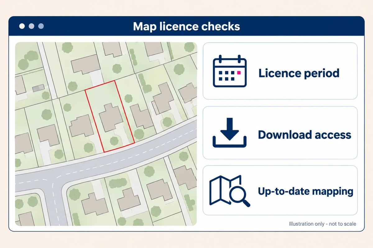
The first thing to know is that there is no single expiry rule covering all UK Planning Maps products. A finished planning plan and an editable CAD file are different purchases. How long a download stays in your account is a separate question again. Here is how to work out which checks matter for your project.
What mapping licence duration means
A mapping licence sets out your permission to use mapping. Its duration tells you how long that permission lasts; its other conditions explain what you can do during that time. Buying a plan does not give you ownership of the underlying Ordnance Survey data.
Our website terms, clause 6.3, provide a perpetual licence for Printed Products, subject to restrictions on copying, modifying, extracting or reusing the licensed data represented. Perpetual means that this licence is not expressed as a fixed annual term. It does not mean unrestricted copying or permission for every possible use. Additional conditions supplied with an order may apply.
By contrast, our CAD maps are advertised with a one-year licence. Check your order documents for the applicable dates and conditions, particularly if you need to continue working with the data after that period.
Ordnance Survey's partner licensing guidance explains that its Printed Products category can include paper maps and non-georeferenced electronic raster maps. Electronic delivery alone therefore does not tell you the licence duration. This is a supplier licensing category, not a replacement for the terms of your purchase.
Our PDF plans are not georeferenced. Our DWG and DXF maps are. That difference matters when choosing a file, but a PDF filename alone does not establish all the permissions attached to it.
Three dates that are easy to confuse
Keep these three things separate:
- Licence period: the duration stated for your particular product. Our advertised CAD licence is one year; do not apply that automatically to PDF plans.
- Download availability: our online order storage is three months. That is about retrieving your files, not a three-month mapping licence.
- Map date and suitability: when the plan was produced, what it shows and whether it meets the requirements for the application you are making now.
Download your order promptly and keep its licence information with your project records. For time-limited data, check the applicable conditions for continued use or retention. Saving a file does not extend its licence, and losing online access does not by itself end your permission to use a purchased plan.
Why planning authorities care about current mapping
The council needs to identify the application site without guesswork. A missing road, a recently built house or a changed entrance can make an older map harder to understand, even where the licence still permits its use.
In England, national planning guidance says a location plan should be based on an up-to-date map. That requirement does not give a numerical age limit. Check the relevant authority's own guidance rather than assuming that every map becomes unacceptable after twelve months.
You can find your council's guidance through our sister website, Planning Maps UK. Follow the link to the council and check its current validation checklist for your application type.
A new download is not a substitute for checking the site, either. Look for changes on the ground and discuss any missing features with your architect or the planning team. A planning base map is not a measured site survey.
When you may need to buy a new plan
Start with what has changed, rather than the date alone. You may need a replacement where:
- The application now includes land outside the original map area.
- The scale or coverage no longer suits the proposal.
- Relevant buildings, access arrangements or surrounding features have changed.
- The council asks for updated mapping.
- Your intended use is not covered by the licence you hold.
A withdrawn application or a long pause does not, on its own, tell you whether a new purchase is needed. Review the plan, the proposed reuse and your order terms together. Where the boundary needs changing, also check whether the existing plan can be appropriately amended under the permissions supplied.
For example, an extension redesigned within the same plot may leave the location plan unchanged, while requiring new proposal drawings. Adding a separate access strip could change both the application boundary and the map coverage needed. Those are different situations, even if the original plans were bought on the same day.
Choosing the right map for the job
A PDF is useful when you need a finished plan to view, print or include in application documents. A georeferenced DWG or DXF is more appropriate when your designer needs editable mapping positioned in a coordinate system. Agree the format before ordering; converting a PDF does not grant a CAD data licence.
Location plans commonly use 1:1,250 or 1:2,500. Site or block plans commonly use 1:200 or 1:500, depending on the detail and coverage required. Confirm the scale with the authority rather than choosing solely on price.
Copying has its own rules. Ordnance Survey's Paper Map Copying Licence is a separate twelve-month business licence for specified copying activities. Its annual term is not an expiry date for every purchased planning plan, and it is not a substitute for a CAD licence. Permission from a third-party map publisher may also be needed.
A practical check before you submit
Open the actual file you intend to upload, not an earlier draft, and check:
- The property and application land are correct, including any necessary access.
- The red boundary matches the application; any required blue boundary identifies other land owned by the applicant.
- The scale, north point and copyright information remain readable.
- The map reflects the relevant site context and meets the council's current requirements.
- Your intended submission, sharing and copying are covered by the applicable terms.
If your project folder contains several plans, give the chosen version a clear filename. Keep the order reference, purchase date, product format and any licence end date alongside it. That small habit makes life easier when a designer returns to the job months later.
If you need help, tell us what you bought and what you want to do next. An order reference and a short explanation are much more useful than simply asking whether an old map is valid.
Questions applicants often ask
Can I use the same plan for a planning appeal?
Check the appeal's document requirements and the permissions supplied with your plan. Reusing an existing document and creating a new drawing from licensed data are not necessarily the same activity. If you are unsure which applies, ask before ordering a replacement or reusing the file.
Does a planning decision extend the map licence?
No. A planning decision does not change the mapping permissions you purchased. Equally, a licence end date is not a planning-permission expiry date. If a time-limited CAD licence is approaching its end while work continues, contact us about the next steps; do not assume the planning timetable extends it.
Can my architect use the PDF I bought?
Our help page confirms that ordered plans can be used electronically, including by email. Let your architect know what you have bought and supply the relevant terms. If they need editable georeferenced data, ask them to confirm the required CAD format instead.
The same help page states one printed copy per ordered plan unless an applicable Paper Map Copying Licence is held. Additional printed copies can be ordered. Sending a PDF does not give everyone unlimited printing rights.
Need a hand checking your order or choosing a new plan? Call 01856 898 022, or find your planning map. We can help you check the product and its terms before you decide what to do next.
Ready to Get Your OS Plans?
Every plan is instantly downloadable, Planning Portal‑compliant, and includes all required elements. Get your plan now and submit your application with confidence.