
What Plans Do You Need for HM Land Registry?
If your solicitor has asked for a Land Registry plan, it is worth finding out exactly what they need before ordering. A plan for selling part of a garden does a different job from one showing a flat within a building. This guide explains the main Land Registry plan requirements and where our site plans, location plans and CAD mapping fit.
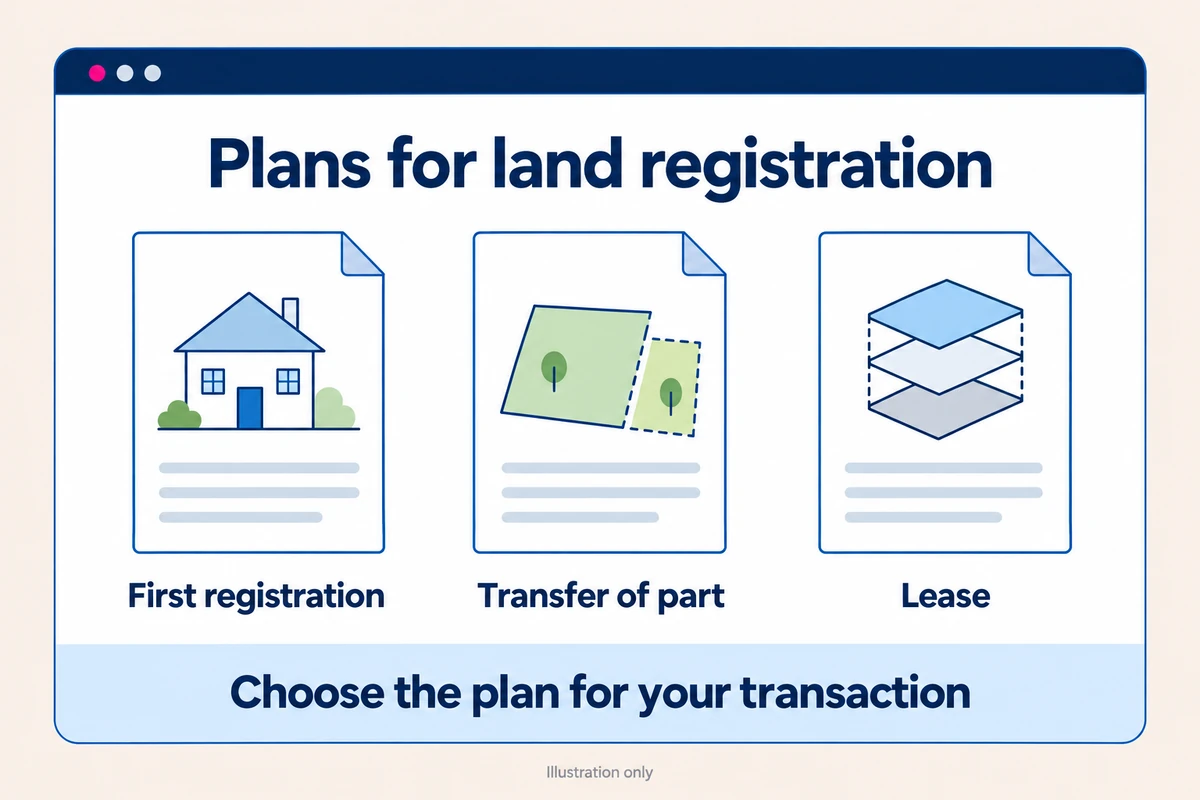
Start with the transaction, not the map
“Land Registry plan” is a useful shorthand, but it can describe several things. Someone checking a registered property may want an official title plan. Someone selling a new plot may need a plan to attach to a transfer. A landlord preparing a lease might need both external mapping and a detailed drawing of the premises.
Ask your conveyancer what the document will be used for, what land it must include and whether an existing plan already does the job. Those three answers are more useful than choosing the largest scale available and hoping it will be suitable.
This article concerns HM Land Registry in England and Wales. Scotland and Northern Ireland have separate land-registration systems. It is general mapping guidance; your solicitor or conveyancer should confirm what your particular transaction requires.
An official title plan is not a new deed plan
HM Land Registry creates a title plan to support the property description in the register. It normally shows general boundaries, rather than settling the exact position of every legal boundary. Read it alongside the register and any documents referred to, not as a standalone survey. The official title-plan guide explains this distinction.
UK Planning Maps supplies licensed Ordnance Survey mapping for preparing plans. Ordering one of our maps does not purchase an official copy of an existing registered title. Equally, the fact that a map is sold as a site or location plan does not restrict it to planning applications: the finished document can be used for conveyancing when it meets the transaction's requirements.
Both types of plan can use OS mapping. What matters is the purpose, the information added and the permission to use it, not simply whether the underlying streets and buildings look familiar.
When do you need a new plan?
First registration
First registration brings previously unregistered land onto the register. Existing title deeds may already contain a satisfactory plan. If they do not, a new plan can help identify the property. There are also straightforward cases where a clear property description is sufficient. The first-registration guidance sets out the options.
Do not discard an older deed plan merely because it looks dated. Give it to your conveyancer with the other title documents. It may contain information about the land being registered that a fresh map, showing physical features alone, cannot provide.
Selling or leasing part
If you are separating a plot, garage or garden area from a larger property, the new extent needs to be clear. Transfers and leases of part normally need a plan. Markings must agree with the deed, and relevant plans require the appropriate signatures. See HM Land Registry's plan-preparation guidance.
Transferring the whole registered title
A new purchased map is not an automatic requirement for every house sale. A transfer of the whole registered title uses its existing title identification; a transfer of part is a different process. The official TR1 guidance explains that distinction. Check before ordering something your conveyancer does not need.
Which UK Planning Maps product should you choose?
For a smaller property or parcel, our 1:500 site plans are a sensible starting point. The standard A4 version covers 90 metres by 90 metres. Check that this includes the complete extent and enough surrounding detail, rather than just the building in the middle.
Our 1:1,250 location plans give more context and come in standard A4 coverage options of two or four hectares. A 1:2,500 location plan covers a wider area and can be useful for rural land. These are product-selection suggestions, not a promise that a particular scale will suit every property.
For long, irregular or larger sites, look at our bespoke mapping service. It offers flexible coverage and scales. Ask about the required output before ordering a large sheet, particularly if your conveyancer will lodge the plan electronically.
Our DWG and DXF maps suit professionals who want to prepare the drawing in CAD. These files are georeferenced. Our PDFs are not georeferenced; that does not prevent their use as ordinary deed plans. The appropriate format depends on who will add the transaction details and how the finished document will be supplied.
Make the land easy to identify
HMLR's general guidance favours 1:500 to 1:1,250 for urban properties and 1:2,500 for rural properties. A stated metric scale, north point, scale bar and recognisable surroundings help the reader locate the land. Edging should be clear without obscuring detail, and colours must correspond with the deed. These are guidelines, not a guarantee of acceptance.
Before drawing anything, make a list of the places involved: the main property, any separate garage, parking space, storage area and access route. Discuss which are included in the transaction and which are subject to rights. A road shown on an OS map does not, by itself, establish a legal right to use it.
The familiar planning convention of red for the application site and blue for other owned land should not be copied automatically. In conveyancing, let the deed explain the markings. Your conveyancer should confirm the intended treatment of retained land, shared access and any separate parcels.
A practical example: selling the end of a garden
Imagine a homeowner selling the rear section of a long garden while keeping the house. A map centred on the house might cut off the very land being sold. One centred tightly on the new plot might omit the route connecting it to the road.
The useful starting point is a view containing both the plot and the relevant surroundings. The buyer and seller then need to agree what is actually included. Does a narrow access strip pass into the buyer's ownership, or will there be a right to cross land that the seller retains? Those are different arrangements, even when the route looks identical on a map.
This example is fictional, but the ordering lesson is simple: settle the brief first. A mapping supplier can help with coverage and presentation; it should not guess the legal arrangement from a sketch or postcode.
When additional drawings or a survey are needed
An external map cannot show which rooms form part of a flat. For properties with different extents on different levels, the relevant floor areas and their relationship to the building need defining. Our OS mapping can provide the location component, but it does not replace a measured internal floor plan. If an existing lease already identifies the property adequately, another plan may not be necessary just for registration; see the lease-registration guidance.
Determining an exact legal boundary is another specialist task. The determined-boundary guidance has precise surveying requirements. Buying a larger-scale map alone does not meet them. Estate-plan approval also has separate survey and layout requirements.
Before you order and before you submit
Send whoever is preparing the plan a short brief:
- What transaction is the plan for?
- What existing title documents or plans are available?
- Which land and separate areas must be shown?
- Are access rights or different floor levels involved?
- Who will add the annotations and check the finished drawing?
- What file format and paper size does the conveyancer want?
Open the finished file and compare it with that brief. Keep the supplied copyright information visible. If printing a PDF, use actual size or 100%, rather than fit-to-page. Have the final version checked before it is signed or attached to the deed.
UK Planning Maps can help you select the mapping and coverage. Your conveyancer checks that the completed plan describes the transaction correctly. Getting those two parts right is far more useful than treating any map as automatically “Land Registry approved”.
Ready to Get Your OS Plans?
Every plan is instantly downloadable, Planning Portal‑compliant, and includes all required elements. Get your plan now and submit your application with confidence.