
Why HM Land Registry Maps Can’t Be Used for Planning Applications
If you already have a Land Registry title plan in your house paperwork, buying another map for a planning application can seem unnecessary. Your property is there, the red outline looks familiar and the plan may even show the right scale. But a title plan was prepared for a different job. It records registered land; it is not a ready-made planning location plan. Here is why the distinction matters, and what to use instead.
If you already have a Land Registry title plan in your house paperwork, buying another map for a planning application can seem unnecessary. Your property is there, the red outline looks familiar and the plan may even show the right scale. But a title plan was prepared for a different job. It records registered land; it is not a ready-made planning location plan. Here is why the distinction matters, and what to use instead.
This guide concerns HM Land Registry title plans for England and Wales. The national planning guidance referenced below applies to England; applicants in Wales should check their council’s requirements.
What does Ordnance Survey say?
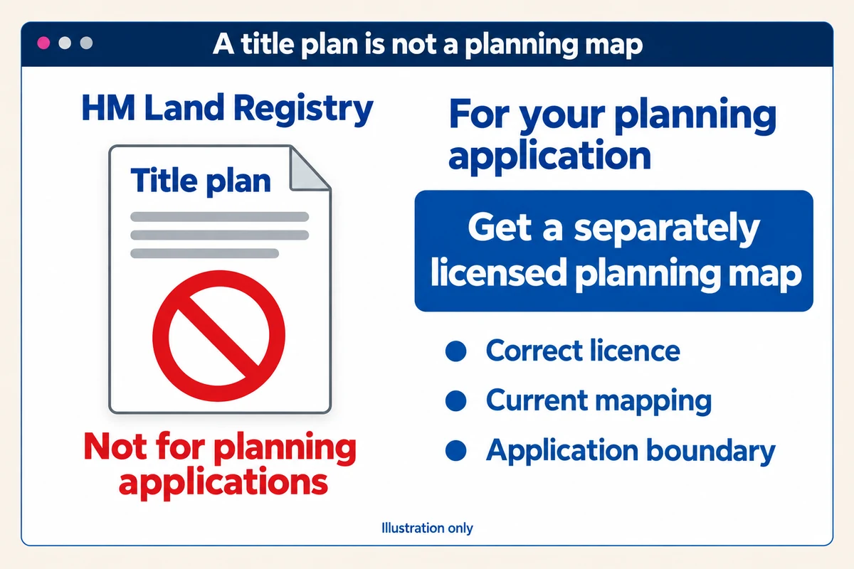
Ordnance Survey addresses this question directly in its guidance on planning application maps: “You are not permitted to use a HMLR title plan for planning applications.”
The same guidance directs applicants to obtain an appropriate large-scale map from an OS licensed partner. It also explains that a local authority considering an application containing a title plan may ask for confirmation that its use is licensed by OS.
That is the starting point: having paid for a title plan does not, by itself, give you permission to repurpose its mapping for planning. Adding a new red line, covering the title number or taking a screenshot does not establish that permission either.
This does not make title plans useless. They remain important property documents. It simply means the map you use for your planning submission needs the right permissions as well as the right content.
What is an HM Land Registry title plan?
A title plan supports the property description in the register. It gives a visual indication of the land in a registered title, usually edged in red, using an Ordnance Survey map as its base.
It should be read with the register and any relevant documents referred to there. Coloured areas, letters and other references can relate to particular entries rather than planning proposals. HM Land Registry’s guide to reading a title plan explains these features.
You might use those documents when discussing ownership, a sale or rights affecting the property with your conveyancer. The planning officer, however, needs a plan identifying the land involved in the development you are proposing. Those two jobs are not interchangeable.
Four practical reasons to use a separate planning map
1. The red line means something different
On a title plan, red edging identifies the registered extent. On a planning location plan, the red line identifies the application site. These areas may match, but you should not assume they do.
In England, national planning guidance says the application boundary should include all land needed for the development. That can include access, visibility splays, parking and landscaping, not just the proposed building.
The same guidance uses blue edging for other land owned by the applicant close to or adjoining the application site. Do not transfer a title plan’s colours straight onto a planning drawing: they may refer to completely different matters.
2. A new download can still show older map detail
The date you download a title plan is not a promise that all its physical features have just been updated.
HM Land Registry’s title-plan practice guide explains that title plans are not routinely updated as OS mapping changes. An existing plan may therefore omit later buildings or changes around the property while still serving its land-registration purpose.
For planning, that missing detail can matter. An access road or neighbouring development may help identify where the proposal sits. Compare your proposed planning map with what is actually on the ground, and flag missing features to your designer rather than assuming any new download is complete.
3. The coverage may not suit the application
A title plan’s view is arranged around the registered land. Your planning location plan may need a wider area to show how the site relates to nearby roads and buildings.
An isolated building, a long driveway or land reached across a separate parcel needs particular care. Someone unfamiliar with the property should be able to locate the application site from the plan without relying on your written directions.
Some councils explicitly rule out title plans. For example, North Northamptonshire Council’s plan requirements say Land Registry plans cannot be accepted as location plans. Check your own authority’s instructions before preparing the submission.
4. A familiar scale is not enough
Title plans are often prepared at 1:1,250 or 1:2,500, so it would be wrong to say they are always the wrong scale. They can also show a north arrow. The problem is not simply the absence of those details.
Matching the scale does not resolve licensing, coverage, map currency or the meaning of the boundary. Nor does enlarging a title plan turn it into a detailed site plan: it makes the existing information bigger without adding the detail your proposal needs.
A simple example: one title, two different plans
Imagine a property comprising a house, a large garden and a paddock, all within one registered title. The owner wants to develop a small part of that land.
The title plan helps identify the registered holding. The planning location plan must instead identify the actual application site, including any land required for access or other parts of the proposal. Simply copying the whole title outline may include land unrelated to the application; drawing tightly around the new building may leave necessary land out.
Agree the application boundary with your designer or planning adviser. Do not use this example as a reason to exclude gardens or other land automatically: the correct extent depends on the proposal.
Keep the title plan for the job it does well
Keep your title documents available when discussing the property with your solicitor or designer. They can help you identify questions to resolve before an application is prepared. Treat them as background records, not as permission to copy the mapping into your submission.
Most registered boundaries are general boundaries. HM Land Registry warns against using measurements scaled from the title plan to locate an exact legal boundary. A thick red line cannot settle precisely where a fence should stand. If that position is disputed, seek appropriate legal or surveying advice.
A newly purchased OS planning map cannot settle that dispute either. Planning maps, title records and measured surveys each have their own purpose. Keep those distinctions clear when briefing the people working on your project.
What should you use for your planning application?
Start with a properly licensed planning location plan at the scale and coverage your council requires. In England, the usual location-plan scales are 1:1,250 and 1:2,500, with up-to-date mapping and enough surrounding detail to identify the site.
You may also need a site or block plan, commonly at 1:200 or 1:500, together with the relevant proposal drawings. A base map does not draw an extension or design a new access for you; those details must be added appropriately.
UK Planning Maps supplies licensed OS mapping for these plans. Our PDFs are not georeferenced. If your architect needs editable, georeferenced mapping, ask whether they require our DWG or DXF files before ordering.
Buying a new plan is not a guarantee that the whole application is valid. The boundary, drawings and supporting information still need checking.
A quick check before you submit
- Use a planning map licensed for the intended submission, rather than a copied title plan.
- Include the full application site and any necessary access within the red line.
- Check the surrounding roads, buildings and relevant site changes.
- Keep the stated scale, north point and copyright information clear; a scale bar is useful too.
- Open the final exported file and check that nothing has been cropped or obscured.
For the local requirements, find your council’s guidance through our sister website, Planning Maps UK. Follow through to the authority’s current checklist for your application type.
Need help choosing the map? Find your planning plan or call 01856 898 022. Have the property address, proposed site extent and any instructions from your designer ready. We can help you choose the format and coverage without confusing your planning map with your title documents.
Ready to Get Your OS Plans?
Every plan is instantly downloadable, Planning Portal‑compliant, and includes all required elements. Get your plan now and submit your application with confidence.