
How to Purchase OS Maps for Planning Applications
A planning application can be delayed by something as simple as an unclear red line, an unsuitable scale, or a map that does not show enough surrounding land. Knowing how to purchase OS maps correctly means choosing licensed mapping that meets your local planning authority’s requirements, then creating a clear plan that identifies your site without unnecessary cost or waiting.
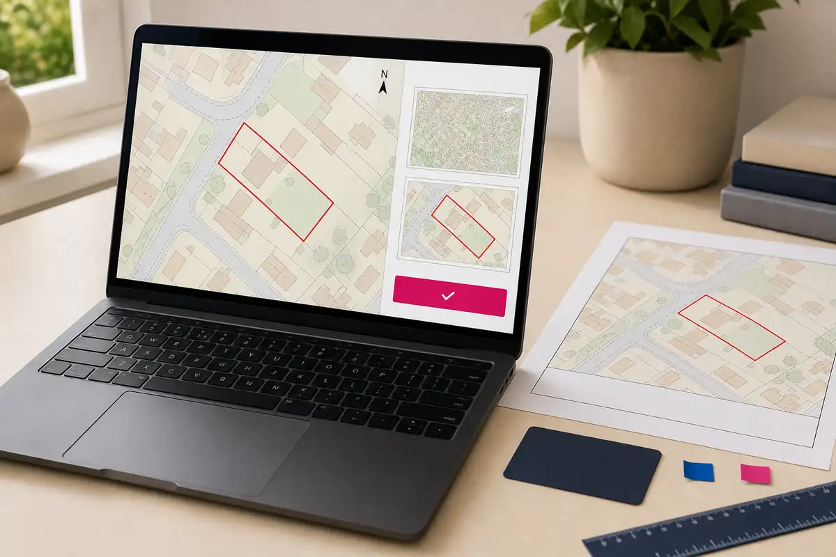
Buying mapping for a planning application should be straightforward, but it helps to know what you need before searching. A location plan and site plan do different jobs, the scale must suit the property and the boundary must be clear. Check the local validation list, then purchase OS maps matching the requested plan, scale, coverage and format.
Start by confirming which OS map you need
Most people searching for planning mapping need a location plan, a site plan or both. A location plan identifies the application site within the wider area. It normally shows surrounding roads, buildings and other recognisable features so that somebody unfamiliar with the property can find it.
A site plan, also commonly called a block plan, gives a closer view. Depending on the proposal, it may show existing and proposed buildings, access, parking, gardens, boundaries and nearby properties. Trees, hard surfaces, rights of way, walls or fences may also be relevant where they could influence or be affected by the work.
The guide to location plans and site plans explains the difference in more detail. Many applications need both because a close block plan may not provide enough context to identify the site, while a wider location plan may not show the proposed layout clearly.
Location plans are commonly 1:1250 for a smaller built-up plot or 1:2500 for rural land, larger sites and wider context. Site plans and block plans are often 1:500 or 1:200. The technically larger, more detailed 1:200 scale can suit a compact site or work close to a boundary.
These are typical, not universal. Follow the authority's validation list or written request and check the paper size. The whole site and red line must remain clear.
The mapping base normally shows what exists, not the extension, new home or access you propose. The site or block plan may need the proposed work added clearly, and the application can also require floor plans, elevations, sections or specialist drawings. Buying the map is the first part of preparing the plan, not a replacement for the design work.
How to purchase OS maps in five practical steps
1. Check the application requirements
Start with the authority's guidance for the application type and note the plan, scale, paper size and required features. If a submission is invalid, check whether it needs a missing location plan, more detailed site plan, revised boundary or clearer file. Buying another map without identifying the problem can repeat it.
2. Find the correct property or parcel of land
Search by address or postcode and compare building shapes, roads and access rather than trusting the result alone. For agricultural land, woodland or a plot without an address, use coordinates or a map search. Centre the correct parcel and keep the access and useful surroundings visible.
3. Choose the plan, scale and coverage
Choose a location plan for wider identification and a site or block plan for close detail. Follow any specified scale; otherwise use one that shows the whole site without losing context.
Coverage matters too. A rural plan may need a track, junction or buildings, while a detailed plan may need neighbours, access, parking or the proposal. Too wide an extract makes a small red line hard to see; too tight a crop can omit the public-road connection.
Look at the preview as though you have never visited the site. Can you find the application land from the surrounding roads and buildings? On the closer plan, can you understand where the proposal sits in relation to the boundary and neighbours? If either answer is unclear, change the coverage or scale before paying rather than hoping the planning officer will work it out.
4. Draw the red line and blue line
The red line encloses all land in the planning application, not simply a proposed building footprint. It may include the house, garden, driveway, public-road access, parking, landscaping or drainage land.
Compare it with the form, ownership certificate and drawings. If a new access on the site plan lies outside the location-plan boundary, the documents may need correcting.
This matters where the application site is only part of a larger ownership. Do not pull the whole field or property into the red line merely because the applicant owns it. Mark the land covered by the proposal in red, then use blue for other nearby owned land where the requirements call for it.
Nearby owned land may need a blue line when outside the application site. Blue shows wider ownership; it does not add land to the development. See the red line boundary guide.
Ordnance Survey mapping is a useful base, but mapped features do not necessarily prove legal ownership. Use title information and take advice for an uncertain boundary, shared access or leasehold interest.
5. Preview, pay and check the download
Before paying, check the property, coverage, scale, north point and boundaries. Lines should be visible without hiding useful detail.
After a completed online order, the map is available to download from the website immediately. An email copy can take up to 20 minutes, so use the website download if you need the file straight away. Open the actual PDF and save an untouched copy. Print at the intended paper size and 100% or actual size; “fit to page” can alter scale. Use clear filenames such as Location Plan and Proposed Site Plan.
The preview check catches real problems. In one customer review, the customer explained that the original location map did not show enough surrounding area or neighbouring properties. After a phone call, UK Planning Maps added the detail and emailed a revised version. It is a useful example of asking for help when the coverage is not right, although one customer's outcome cannot guarantee how another authority will validate an application.
When you may need more than a PDF plan
For many straightforward applications, PDF plans are convenient for upload and printing, but they are finished documents rather than editable mapping.
Architects, designers and surveyors may prefer CAD maps when they need to add detailed proposal information in design software. UK Planning Maps CAD files are georeferenced and available as editable mapping. Confirm the required DWG or DXF format, software version, units, coordinate expectations, layers and coverage with the recipient before ordering.
Georeferencing helps the mapping retain its real-world position and can support coordination with other project data. The recipient still needs to check that survey, engineering or design files use compatible units and coordinates. Send the licence information and keep an untouched source file so the working drawing can be traced back to the supplied mapping.
CAD mapping is not automatically a finished planning drawing. The designer must add the proposal, boundaries, title, scale, north point and requested information before exporting a submission PDF where needed.
Some sites need more: levels may require a topographical survey, trees an arboricultural plan and road access a highways drawing. Drainage, landscaping, ecology or flood risk may need separate information.
Common mistakes that can hold up an application
The wrong plan type is an easy mistake. A 1:500 block plan may lack wider context, while a 1:1250 location plan may not explain parking, access or proposed work.
An incomplete red line may surround only the new building, omit access or include unrelated land. It should match the forms and drawings.
Screenshots may lack dependable scale, current detail, north or suitable rights. Licensed Ordnance Survey mapping is a common, consistent planning base in Great Britain, but no source is universally mandatory; check what the authority accepts. UK Planning Maps covers England, Scotland and Wales, not Northern Ireland.
Poor coverage also reduces clarity: avoid a plot at the page edge, rural land without access or too much irrelevant area.
Do not upload an early PDF, duplicate a map or reuse a plan after the site or access changes. Open each uploaded document and confirm its version.
File names should describe the contents rather than simply saying “map” or “final”. If the submission needs existing and proposed site plans, distinguish them clearly. Where possible, open the uploaded copy to make sure the correct page, orientation and coloured boundaries survived the upload.
The map supports the planning application; it does not decide permission. Drawings, ownership information and specialist documents must describe the same proposal.
Ready to Get Your OS Plans?
Have the address or coordinates, plan type, scale and boundary ready. Check local requirements, choose enough coverage and review the preview.
Compare the PDF with the application. Address, red line, proposed building and access should agree; resolve problems before uploading.
Knowing how to purchase OS maps means choosing the right plan and checking the details. A few careful minutes can prevent a simple mapping delay.
Ready to Get Your OS Plans?
Every plan is instantly downloadable, Planning Portal‑compliant, and includes all required elements. Get your plan now and submit your application with confidence.